 TourBook
Your outdoor logbook
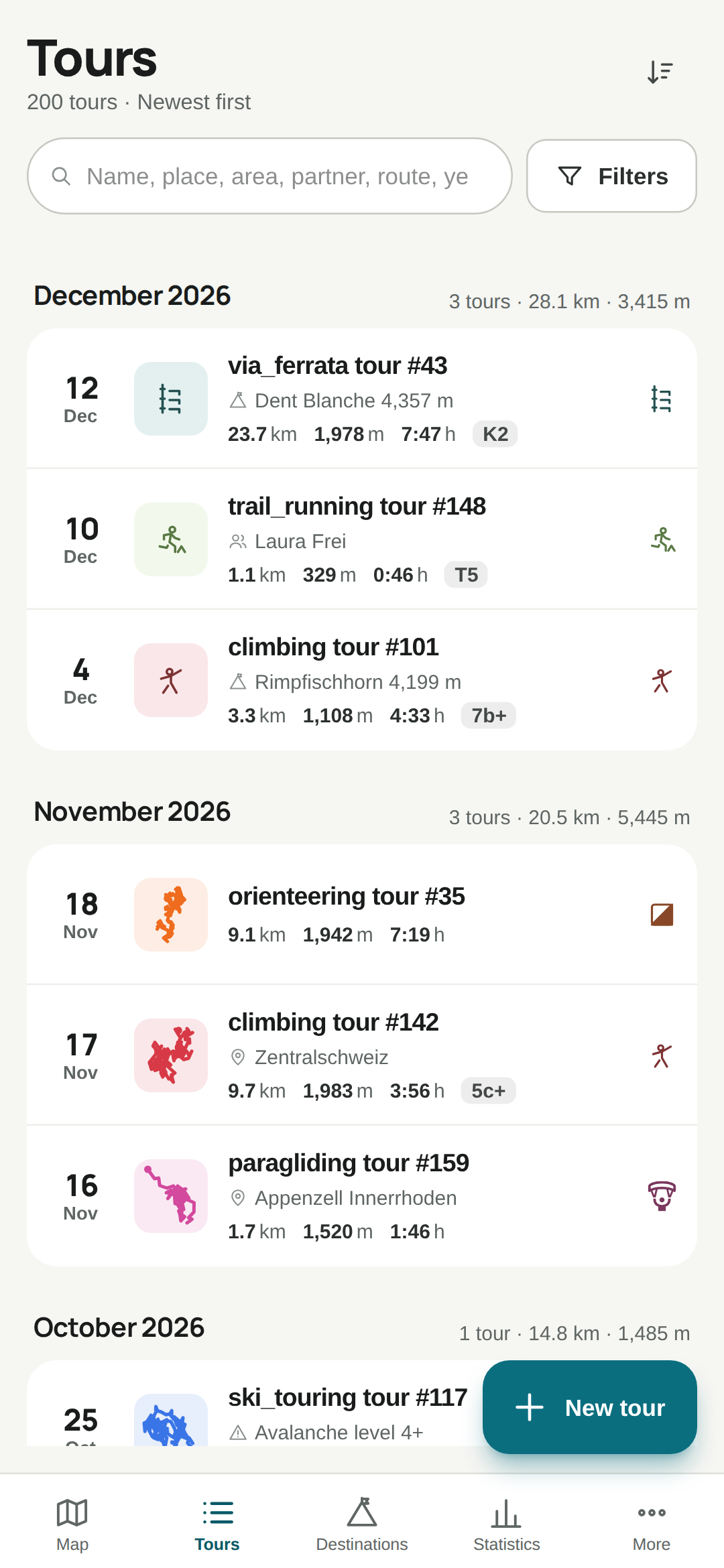
Every tour with a track thumbnail, distance, elevation, duration and grade, grouped by month. The search finds places, areas, partners and routes.
TourBook is a private logbook for everything you do outdoors: from a T2 hike to a 7a multi-pitch, from a ski tour to a paragliding flight. Before the app goes to the Play Store, I am looking for people who try it in their everyday outings for two weeks.
Every tour with a track thumbnail, distance, elevation, duration and grade, grouped by month. The search finds places, areas, partners and routes.
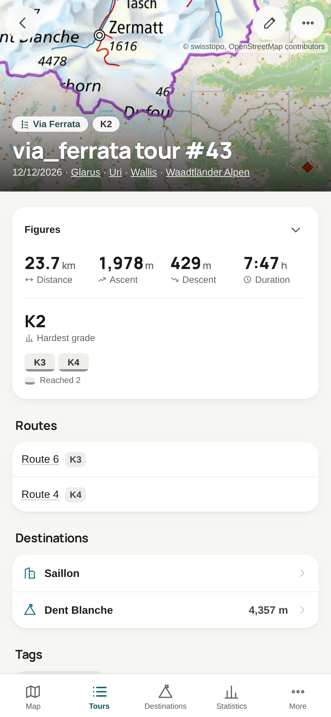
Map, figures, elevation profile, conditions and every pitch with its grade. Everything you will still want to read in ten years.
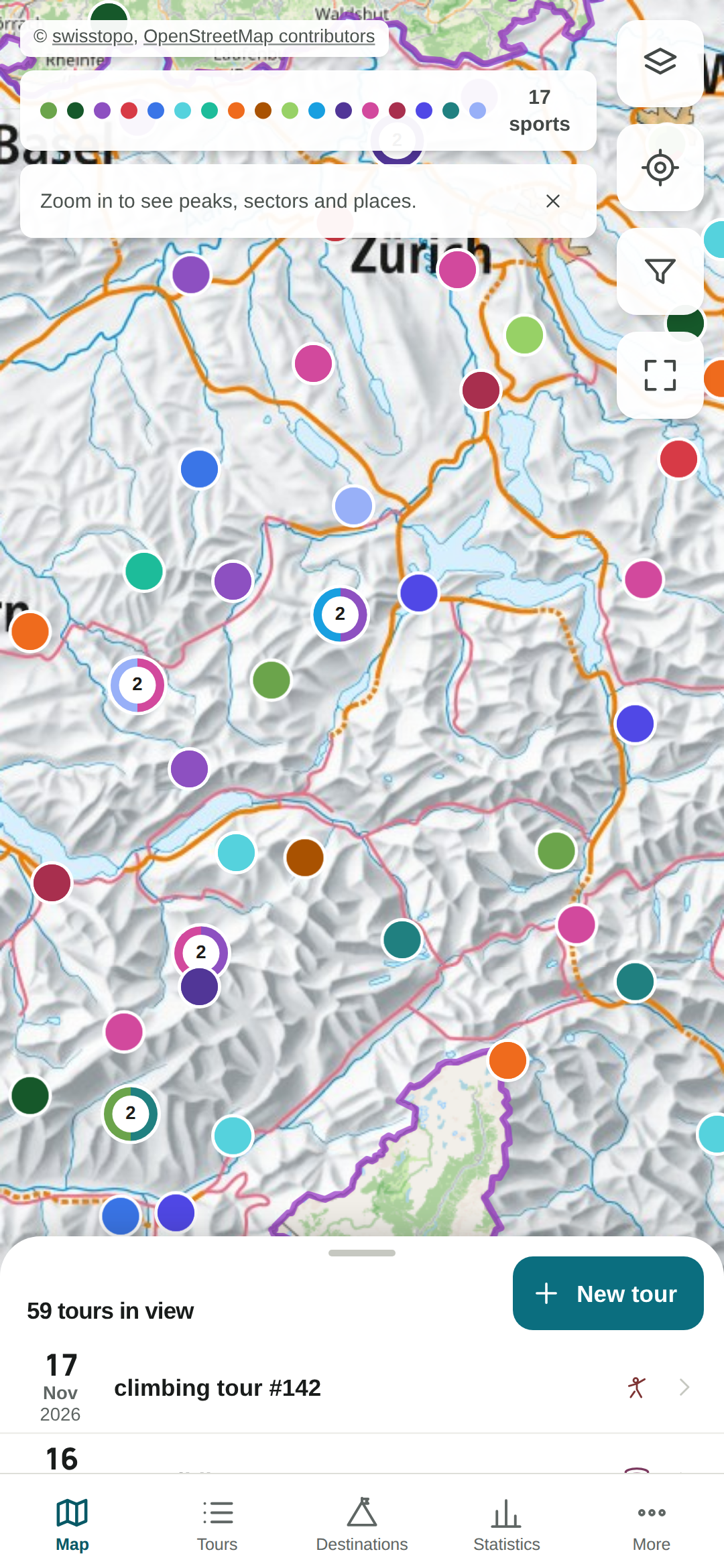
All tracks on swisstopo or OpenStreetMap maps, with a heatmap and peak pins. One filter applies to the list, the map and the statistics.
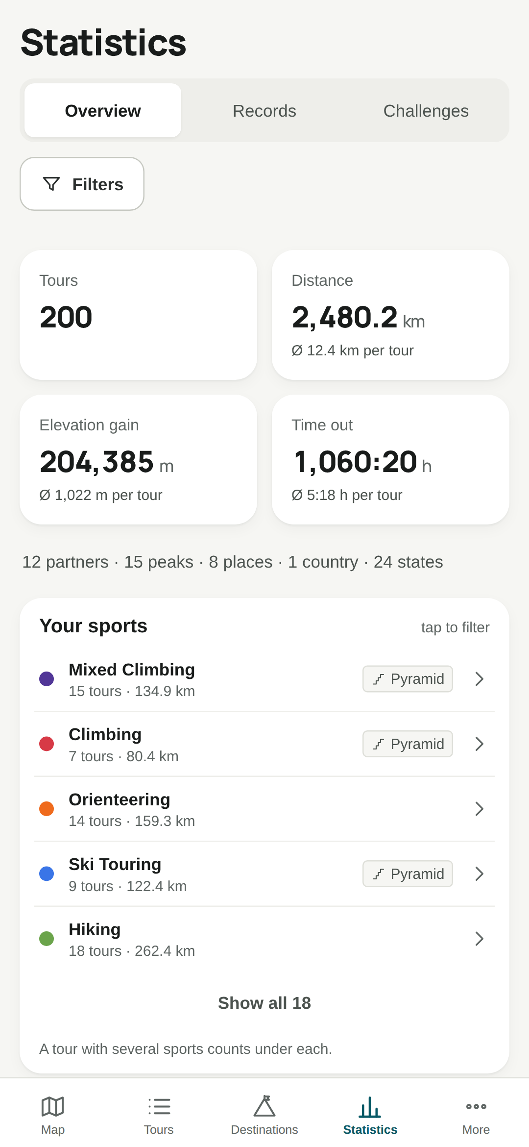
Totals per sport, year and season, records, distributions and how this year compares on the same day last year.
A GPX file fills in distance, elevation, peaks and places. A tour can have several parts, hike & fly for example.
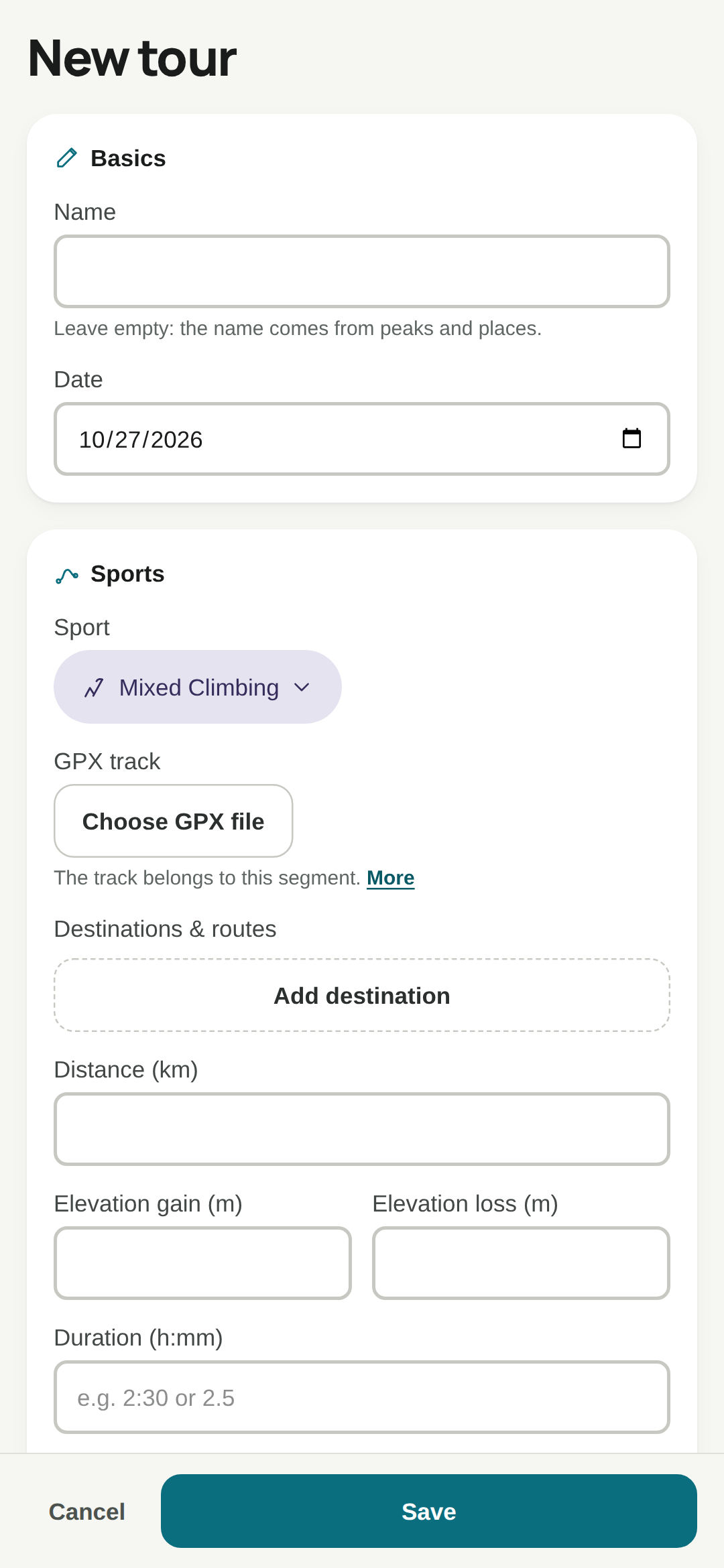
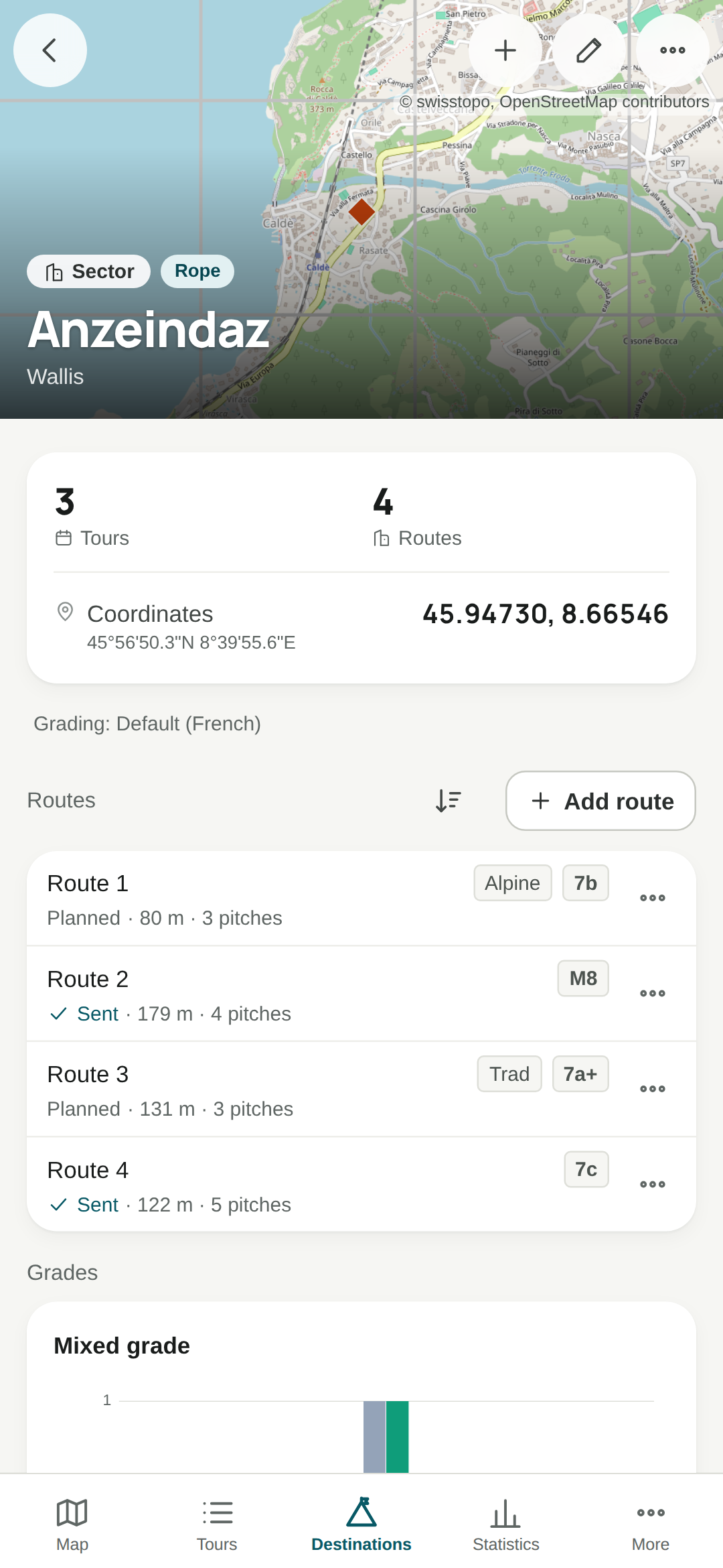
Enter a route once and find it again on every ascent, with goes, style and pitches.
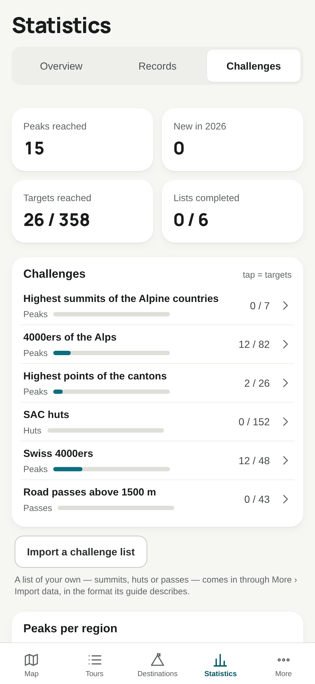
Swiss and Alpine 4000ers, canton high points, SAC huts and mountain passes. Your peaks count automatically.
No account, no ads, no tracking. Your tours stay on your phone and can be logged without a connection; only the map needs one.
Each with its own fields and scales: SAC, UIAA, French, Font, K1–K6, avalanche level, flight type.
Load a GPX: distance, elevation, peaks and region are suggested. A route is entered once.
Year over year, records, grade pyramid, 4000er list, elevation profiles.
Send me your Google account's e-mail address:
foehnetics@gmail.com